Satellite Map Overlay

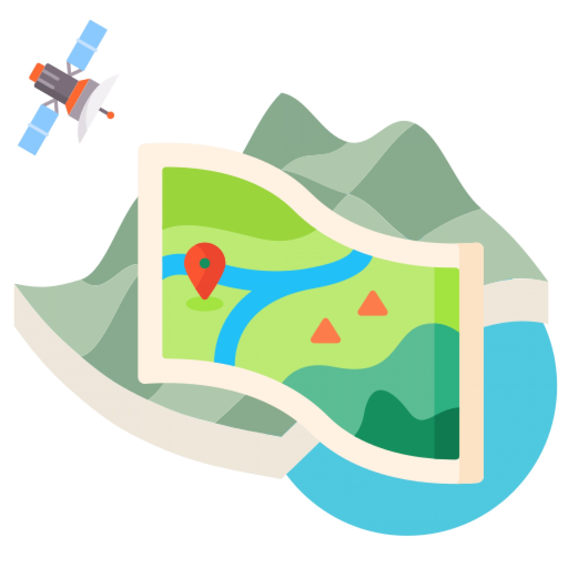
Displaying a Satellite Map Overlay can help participants to submit data on the right location, espcially on more off-areas in which regular maps do not display many details. In other projects, the Satellite Feature Add-On is used in combination with Spatial Data Input, having users of the App Toolkit draw areas, lines, and polygon shapes on the map during the data input. The add-on consists of the usage costs for satellite provided by an European map provider for improved data protection and data ethics.

Short News

  • New study from BiciZen project: "BiciZen: Lessons in the Development of a Crowdsourcing Mobile App to Make Cities More Bikeable" published in Journal of Participatory Research Methods. More studies available under the publication page here.

    in Shortnews
  • Roadkill project has made wonderful short videos for the citizen scientists! The videos include the Roadkill App functions regarding how to confirm & comment on the spots and how to best take the photos for the project. The videos (in German) are available in the "Österreich forscht" blog here. 

    in Shortnews

Newsletter

Please enable the javascript to submit this form