EBW - A New App for Monitoring Biodiversity in Agriculture on the SPOTTERON Platform

"EBW" stands for "Ergebnisorientierte Bewirtschaftung" ("result-oriented management") and is a highly specialized app for farmers and agriculturists to increase biodiversity in Austrian agricultural and natural landscapes.
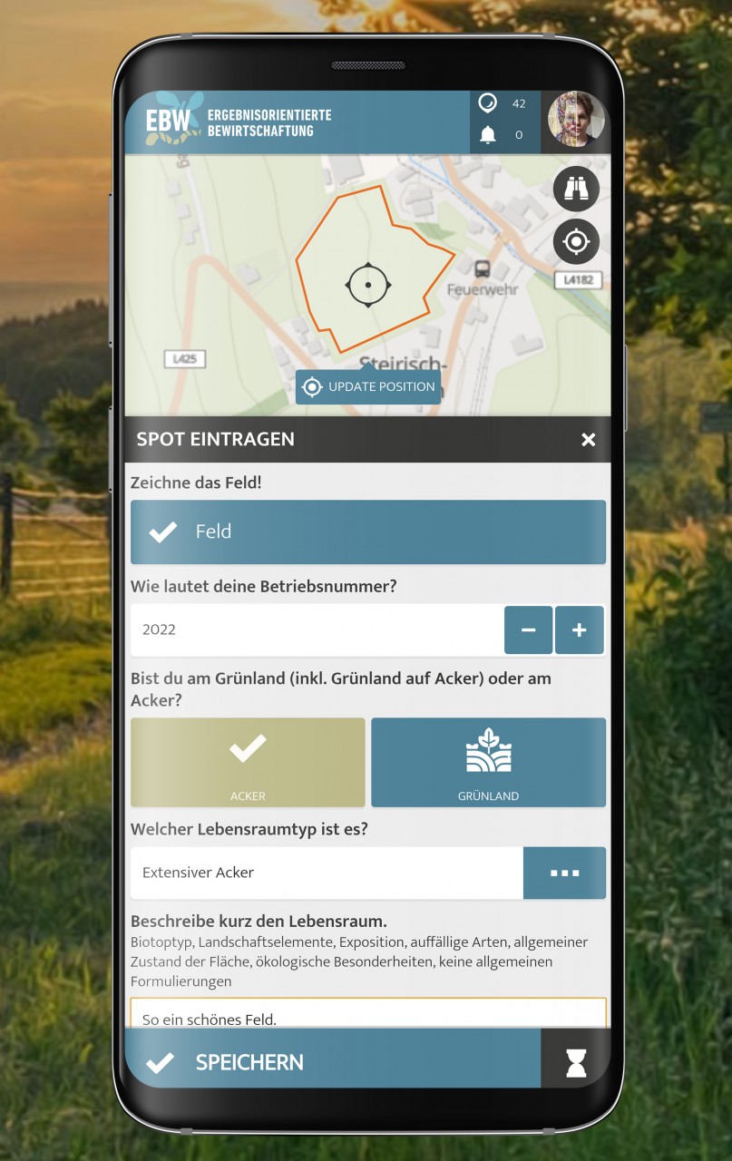
It serves to agree on concrete results or goals as part of an inspection of agricultural areas by experts, which are to be achieved in those areas as nature conservation measures. These goals remain flexible, and the farmers can determine these themselves.
These goals are defined with so-called indicators.
The indicators for the ecological quality of an area range from the preservation of certain plant species to the creation of near-natural structures to the establishment of a breeding population of various bird species. With these indicators, improvements in landscape ecology, species protection, and renaturation can be measured and quantified in the course of the project of the farms. The "EBW" app developed on the SPOTTERON platform is used for this project goal.
New Features implemented in EBW: Spatial Data Recording and Project User Roles
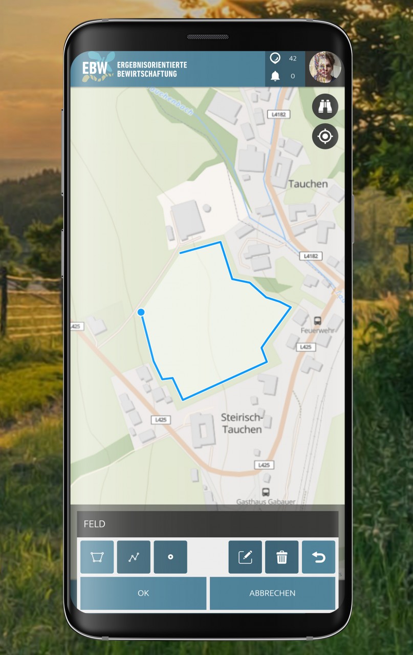
The experts in the project use an input dialog to draw areas on the map and set goals in cooperation with the local farmers. For this purpose, a "user role" function was developed in the project, which allows the entry of area data to be only available to experts. The "Farmer" user role, in turn, enables new status entries and data updates to be continuously uploaded to an area and thus changes and developments to be documented with the app. The app is not designed to be used by the general public but rather to collect data from a specific target group.
To manage and support the project, the project team has access to an extensive and well-established administration interface on the SPOTTERON platform with a range of communication tools and community tools available. The data records created in the project can be exported at any time in the administration interface and used for project analysis and further evaluation of achieved goals.
As part of the project, SPOTTERON also created a modern project website that presents the project, provides assistance for participants, and enables farmers to register for the project.
About the author

By accepting you will be accessing a service provided by a third-party external to https://www.spotteron.net/