Monitoring Coastlines for Citizen Science
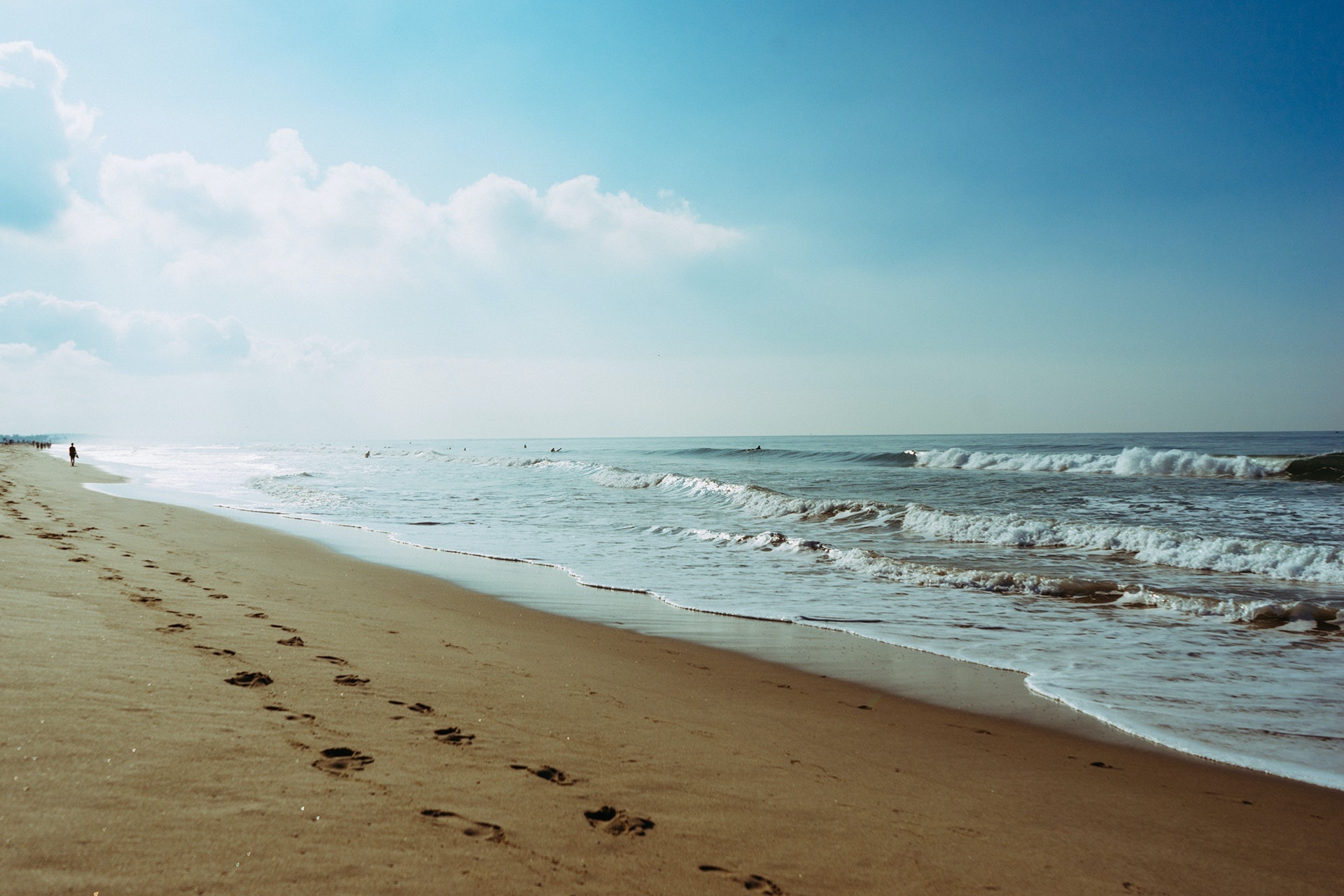
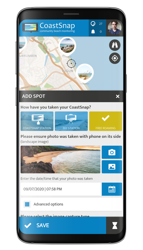
CoastSnap relies on repeat photos at the same location to track how the coast is changing over time due to processes such as storms, rising sea levels, human activities and other factors. Using a specialised technique known as photogrammetry, CoastSnap turns photos of the Citizen Scientists into valuable coastal data that is used by coastal scientists to understand and forecast how coastlines might change in the coming decades. Photogrammetry enables the position of the coastline to be pinpointed from the Coastsnaps to an accuracy similar to that of professional coastal survey teams.


View the embedded image gallery online at:
http://www.spotteron.net/apps/global-community-science-projects/coastsnap#sigProId0187980729
http://www.spotteron.net/apps/global-community-science-projects/coastsnap#sigProId0187980729

