
SPOTTERON
Live Route Recording

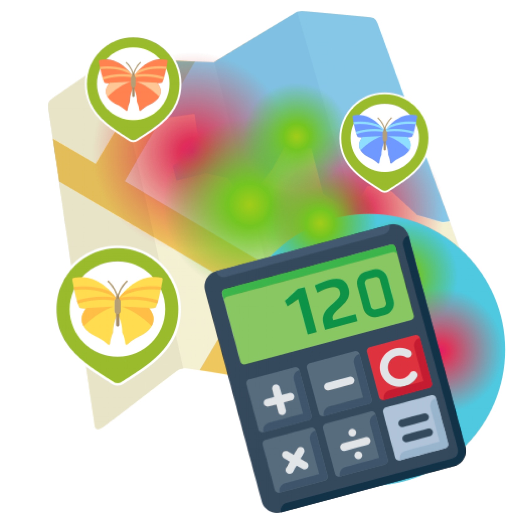
Data Scoring and Custom Data Visualizations
User Roles with specific options per role in data submission dialog

Project User Roles can be utilized in a project to identify different target groups and to display data input options specific to a participant's user role in the App. The project-specific setup of User roles can be used to reflect various levels of knowledge, experience, or different areas of interest for each user, and provide data submission categories specialized for each user role. User role identifiers are inclued in the export and the API for each data point.
Media: Multiple Images Upload per Data Submission

For project with extended need of photo or image submissions and media data volumes, the Multiple Images feature is enabling participants to add a multitude of images one data submission at once in an easy-to-use interface. The feature includes an extended data upload system for data streaming and background upload of contributions to provide a high level user experience and technical quality. The Mutlitple Images feature comes with an image gallery, integrated in the detail view of each user submission in the Apps.
Media: Audio Feature for the live recording and playback of audio in Apps

The project-specific integration of Audio Recording feature enables to attach audio as recording or audio file directly in a user data submission and features a playback component for the detail views of data submissions in the Apps (Android, IOS, Web-App). Audio data is included in the administrator data downlods and in the project-specific API Add-On.
Regional or Country-based Access to Data & Communication Tools

If your project's scale integrates more partner organisations on regional or national level, the SPOTTERON Project Internationalization Toolkit enables regional or country-based data access, community administration and the use of the integrated communication tools. This allows project partners to independently manage and download data and to communicate in the own native language with the local user community.
Additional translations & languages for Apps

Extending to the two languages already included in each basic package, we can implement an unlimited number of translations in your project's Apps. During the App development process, we provide project-specific translation files for your project with all yet untranslated strings included and implement the languages for the release.
Project-specific Intro-Slides on App start-up

When opening up an App the first time, a number of Intro Slides are welcoming new users and give tips about how to use the app. As a graphic design task, we can create your project-specific customized Intro Slides in all included languages of your App and integrate them in the Apps for Android and IOS.
Info-Panels for in-App Information and Glossary Pages

In the SPOTTERON Info-Panels feature, additional information and pictures can be displayed on-click in lists and input fields directly in the data submission dialogue. The project-specific implementation is based on SPOTTERON Package B and the project team can self-edit content of infopanels via the project website's administration interface.
CommuniMap

CommuniMap invites you to see your local area through fresh eyes - by tuning in to nature, movement, and the daily rhythms that shape your surroundings. Whether you’re walking, wheeling, noticing local trees, or composting at home or elsewhere, CommuniMap provides a space to reflect on what you see and share your observations, contributing to a vibrant community map.