Spatial Data Recording for Citizen Science Apps

Many Citizen Science and User Engagement projects utilize more than only point data for locations and spatial dimensions. Examples are plentiful - from setting up transects for counting butterflies to recording habitats and transformations.
Spatial Data Recording in Citizen Science Apps
For that purpose, we have developed a new feature for all Citizen Science Apps on the SPOTTERON platform to enable users to set up in a Spot spatial data along with their recording. A new interface is accessible in the dialog of adding new data to the project. It allows users to draw intuitively different types of spatial information directly on the map with just some taps with a finger. The new feature acts as a flexible spatial data toolkit, with the following tools already available:
- Polygon shapes: Recording of any form of polygon shape, from rectangles to complex spatial forms
- Lines: two-point and multi-point lines
- Dots: a number of single points within an area
It is also possible to combine the different tools to record various aspects, location types, or project-specific data.
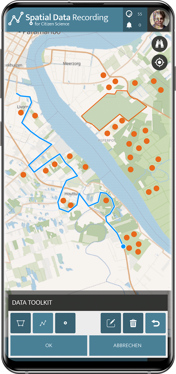

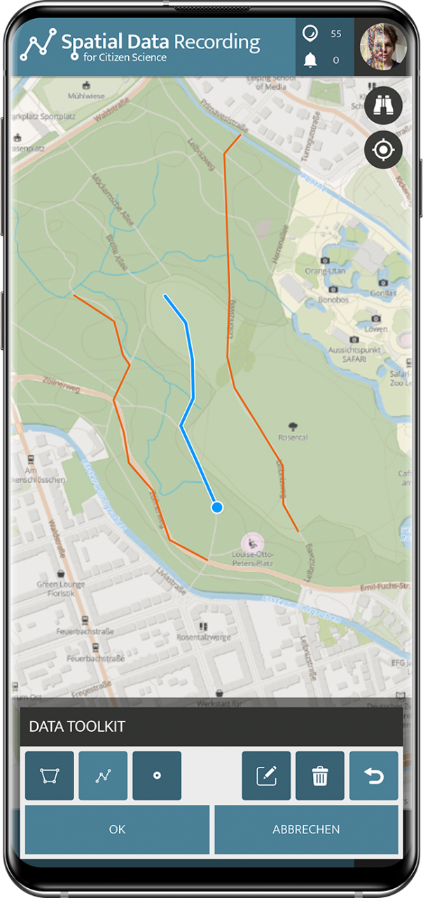
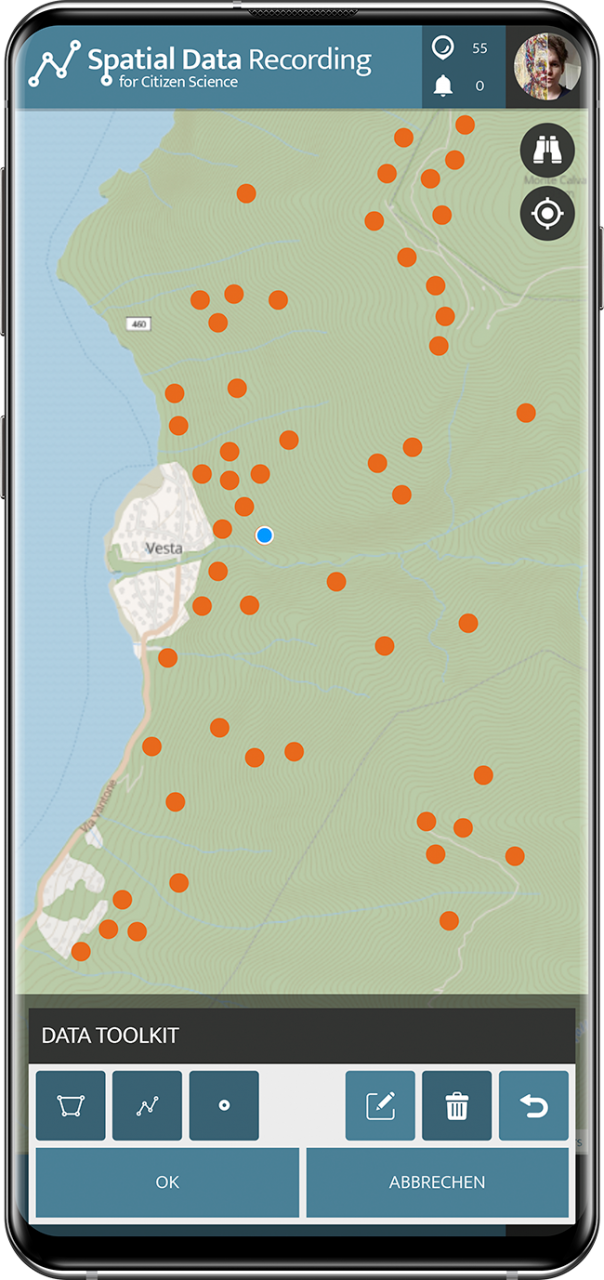
The tools, available both in the Smartphone App and in the Web-Application for browsers, allow the creation of new spatial information right in the flow of adding a new data point. With the possibility of drawing shapes, lines, and points directly on the map when adding new spots to the project, this new functionality seamlessly integrates into the App's interface. It provides the necessary options to edit already drawn shapes, lines, and points for corrections or finetuning and to delete drawn spatial data to start fresh. Since drawing data on the map is not only a few clicks, we have implemented an Undo button to increase the toolkit's usability and help users with the interaction.
New Citizen Science project types, new opportunities
Recording spatial data alongside regular inputs and classifications is a first for the SPOTTERON Platform. The possibility to work smoothly with spatial data in the Citizen Science App allows new project types to run their interactive Apps on the platform and opens up new opportunities for many existing projects.
As always, every Citizen Science and User Engagement project on SPOTTERON can now utilize this freshly forged feature in their project Apps without extra development costs - because cooperation strengthens all.
About the author
Related Posts
By accepting you will be accessing a service provided by a third-party external to https://www.spotteron.net/