

Many Citizen Science and User Engagement projects utilize more than only point data for locations and spatial dimensions. Examples are plentiful - from setting up transects for counting butterflies to recording habitats and transformations. Spatial Data Recording in Citizen Science Apps For that purpose, we have developed a new feature for all Citi...

4049 Hits


Every so often, the journey is the reward. When it comes to Citizen Science projects that include data about paths and routes traveled by citizens in the research, recording such geospatial data live is a crucial feature. Projects from areas like environmental health, urban transportation, or social science studies can benefit from being able to en...
2412 Hits

Artificial intelligence (AI) is a useful tool for analyzing data and supporting research. While the currently more popular forms of generative AI is impacting our daily lives and society and carries a considerable amount of risks, the intergration of predictive AI in interactive Apps can be highly beneficial for data analysis an...
3416 Hits

In many Citizen Science projects, there are distinct data categories which have a sensitive nature. From endangered species to details about personal lives in social science programmes, working with such data elements requires an additional level of protection and security. An integrated feature for better data safety in Citizen Science Together wi...
2576 Hits
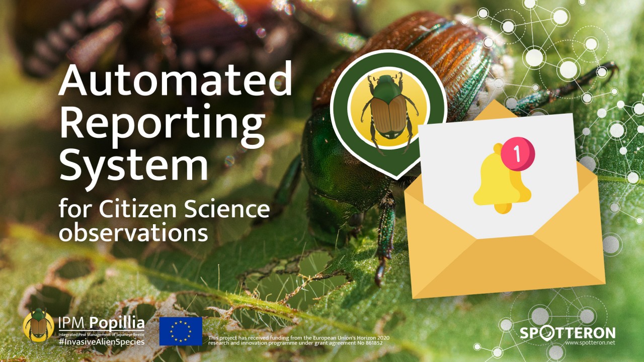
Sensitive topics like invasive alien species can lead to challenges when utilizing Citizen Science and public involvement. Observations can be time-sensitive, like disaster reports, or topic-sensitive, like controlled pests in agricultural monitoring. Some data categories even include legal requirements, like in the latter example, where new sighti...
3362 Hits

One of the often very time-intensive tasks when running a Citizen Science project is the validation of the gathered data. Is the user-provided information correct? Does the species classification work out? Is the location correct? The complexity of this task grows with the success of a Citizen Science project. When hundreds of new contribution...
2965 Hits
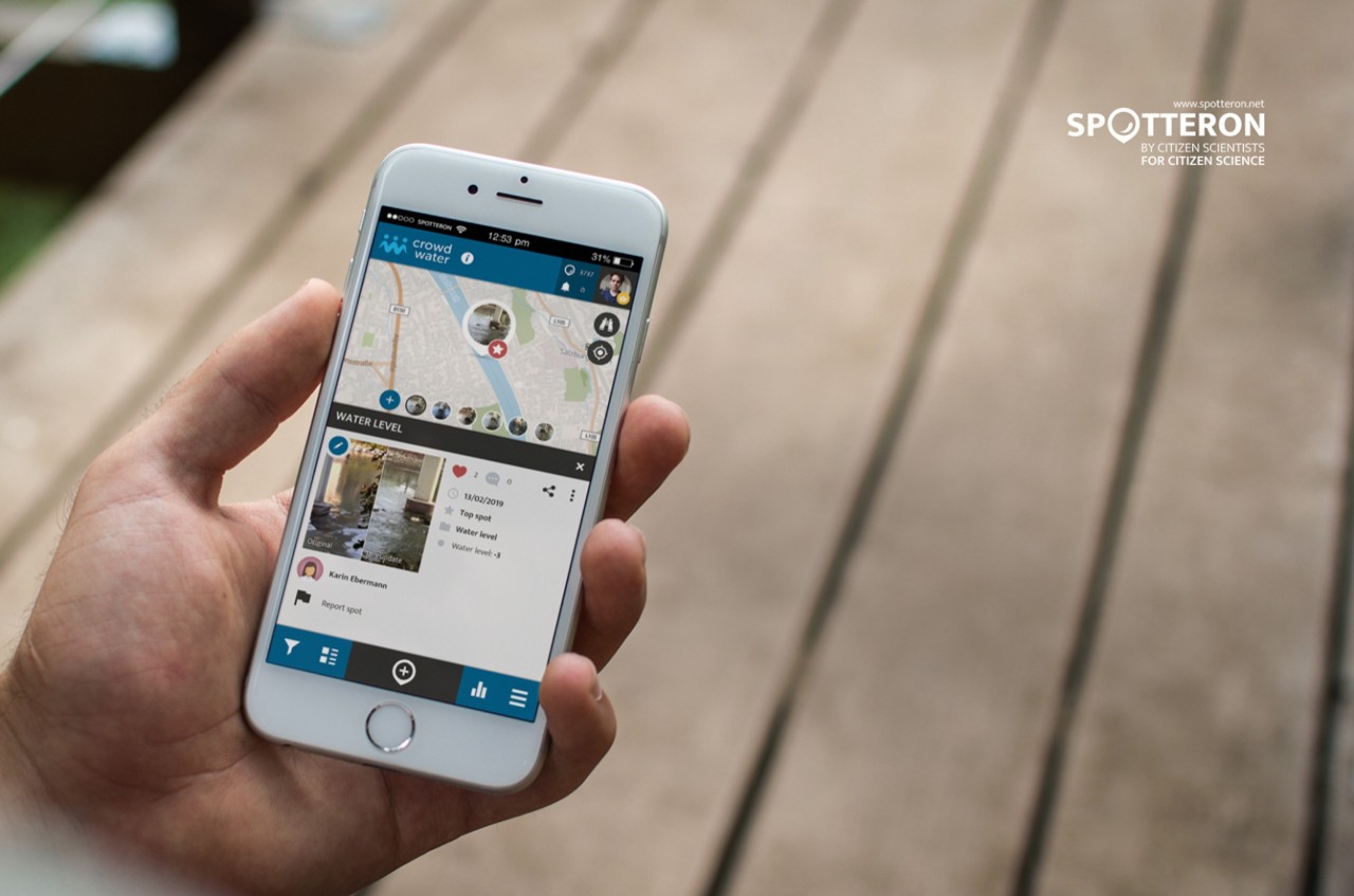
We are happy to announce the release of the new SPOTTERON version 2.6.0! The next SPOTTERON Update brings 3 new extension, available for all Citizen Science apps running on the SPOTTERON platform. In the following blog entry we are going to explain these new features and their function.
4365 Hits

We are very happy to announce that a major milestone for the SPOTTERON Citizen Science System has been reached. During the last months, we worked hard to put the underlaying technology on a completly new basis. With SPOTTERON 1.0 we now can provide you with a modern environment, fully specialized for the use in Citizen Science projects and ready for the future of mobile technology.
4194 Hits

A new feature is ready for use by all Citizen Science projects running on the SPOTTERON platform: Spot Statistics. The observation of change over time plays an important role in many Citizen Science projects, from hydrology, land coverage or phenology. In the CitSci project "Crowdwater", running on SPOTTERON, Citizen Scientist observe the change of water levels in streams and rivers. As an extension to the Citizen Science smartphone apps, we just released a new feature which introduces a
5448 Hits

Last week, the European Parliament’s Legal Affairs Committee (JURI) ignored all advice by data scientists, creators and experts and voted for the Article 13 of the proposed Copyright Directive. This could mean the end of web-based Citizen Science.
4218 Hits

We recently added two new feature to SPOTTERONs ever extending 'feature ecosystem'. The two most recent additions 'Top Spots' and 'Meta-Infos' can enhance better data quality and more..
3931 Hits
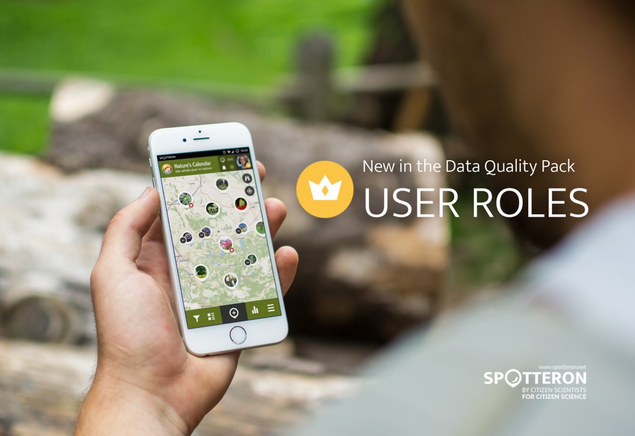
The next SPOTTERON Update brings 3 new extension for all Citizen Science apps on the platform. One of the new features are the upcoming "User Roles", part of SPOTTERON's data quality pack.
4098 Hits

The new SPOTTERON version 2.7 does not only introduce the new Leaderboards (aka User Ranking) for all Citizen Science apps running on the platform, but also 2 more panels with new data statistics.
4513 Hits