SPOTTERON
Full Regional/Country-based Access
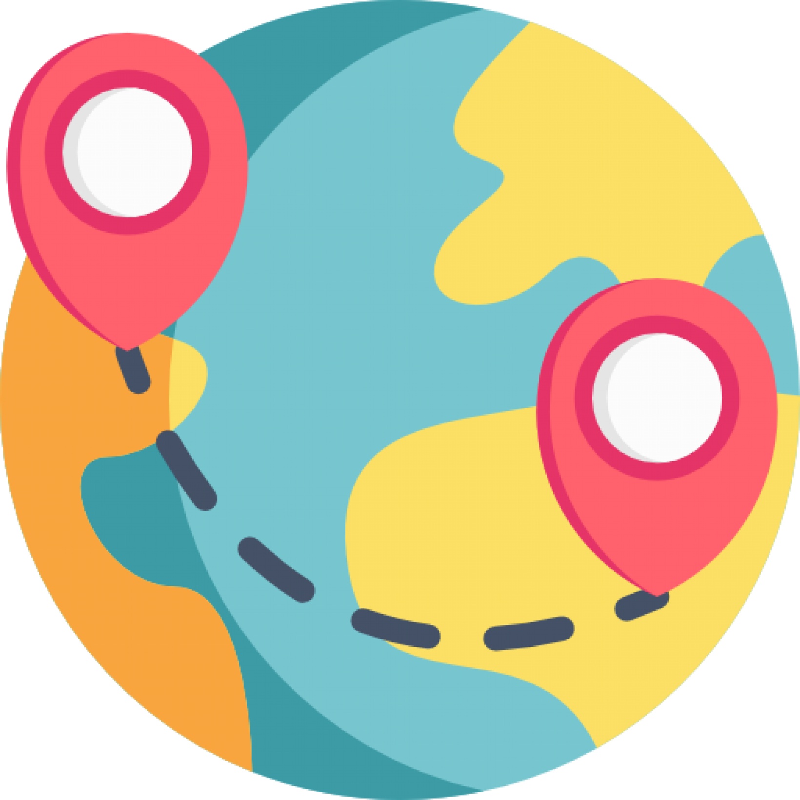
Co-use Partner in a project can get full independent access to all admin tools, communication features and data on a regional or country-based scope.
Project Activities
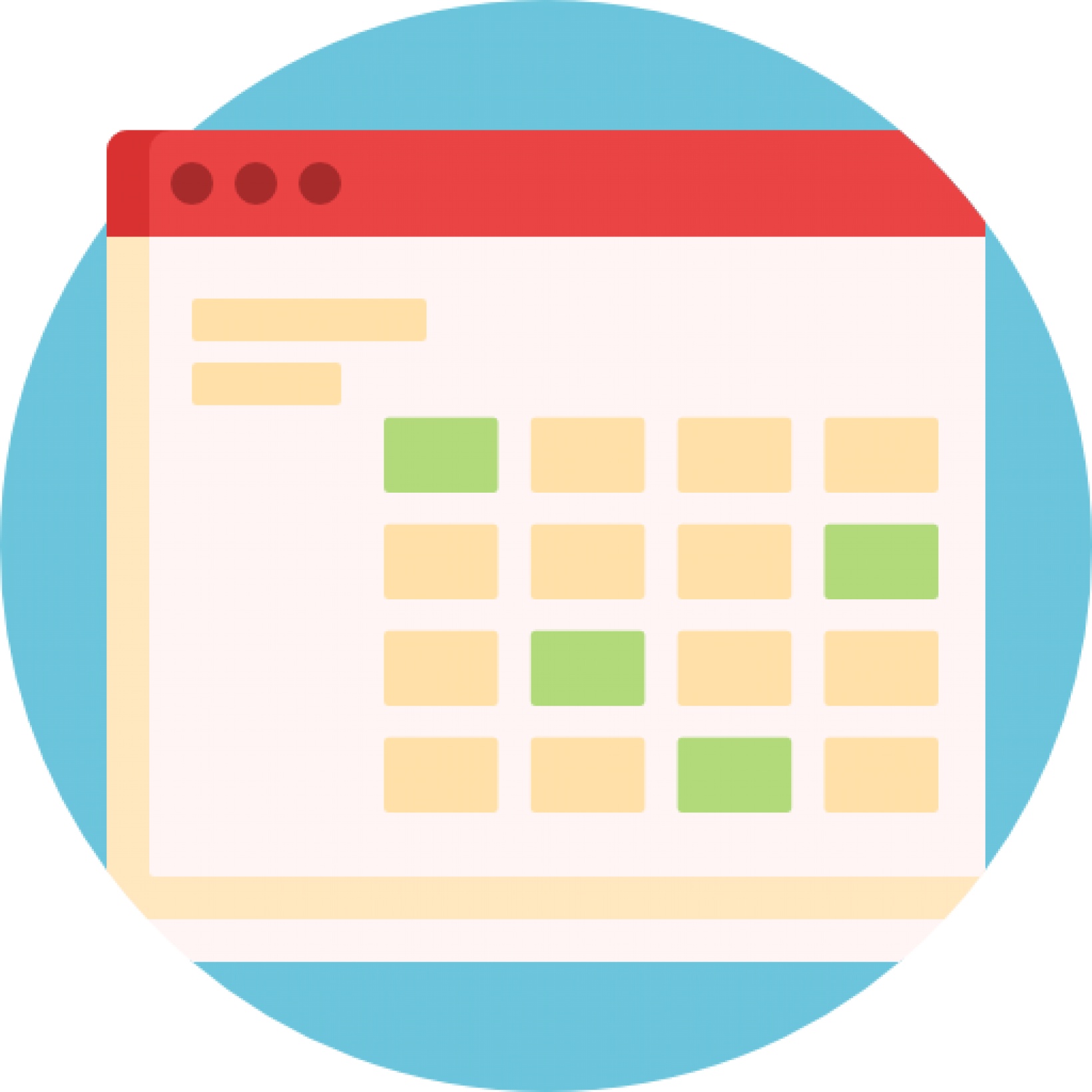
Each co-use partner can publish "Project Activites", ranging from location-based events to project-specific areas on the map to highlight activities.
Communication Suite

Each co-use partner can send custom push messages to the own country, enabling reaching out to the community and native language communication
Data management & Download
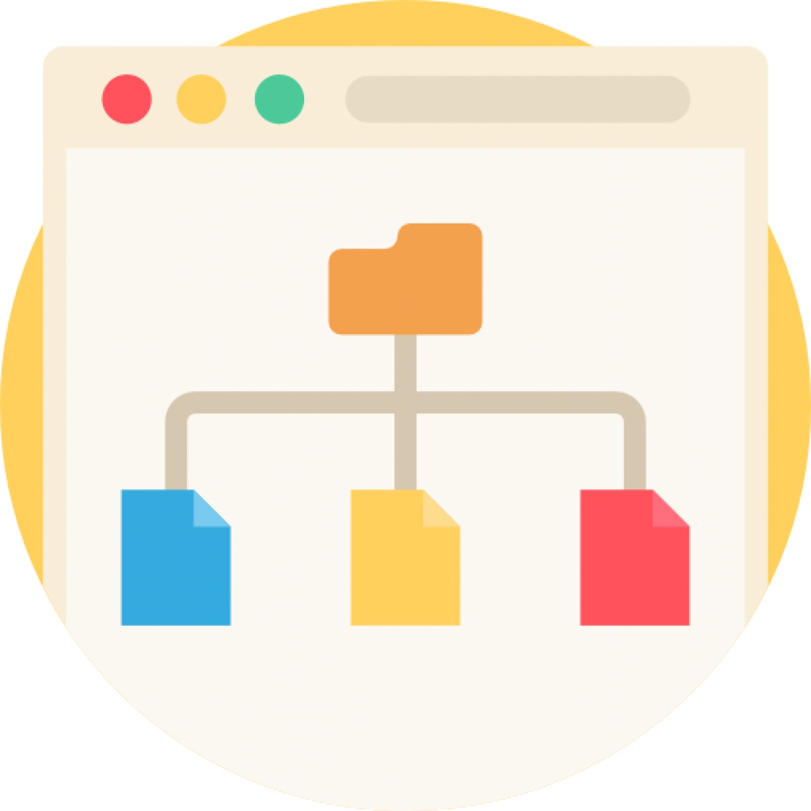
Each co-use partner can independently access the data and download a table-format (CSV) anytime. Furthermore, data points can be managed or edited.
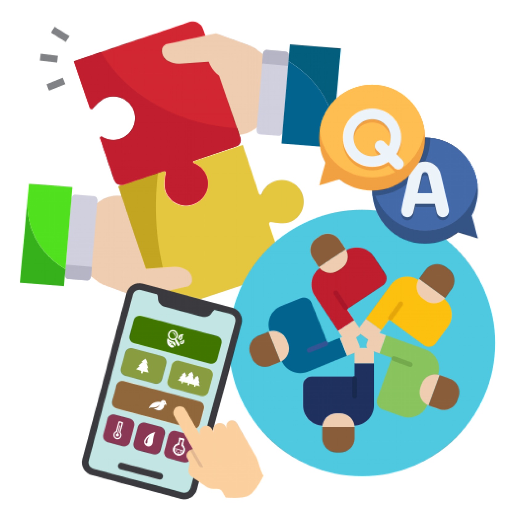
Collaboration in Citizen Science Apps - the SPOTTERON Co-Use Program
A multitude of projects on the SPOTTERON app platform are open for collaboration.
Thanks to our work in Horizon Europe projects, we are able to open Citizen Science projects to join. Co-use partners of a project can fully use the citizen science apps, engagement with the user community, and use the interactive apps for recording own data. Co-use partners also get independent access to data of their country/region of activity, and are able to send communicaiton messages to the user base in their own country.
Why Co-Use?
It can be difficult for projects to secure enough funding to run and support an interactive digital-social toolkit in a project budget, especially for smaller initiatives. Also, running a long-term project with the required IT support, hosting, data traffic, and software maintenance over a longer time is sometimes not fully sustainable with a research grant structure ending the funding after a fixed project period.
This is where the SPOTTERON Co-Use program provides a viable solution for citizen science and public engagement projects. With umbrella projects in place onto other e.g. regional or topic-specific projects can dock on. The backbone of the digital-interactive toolkit is already present, and the runtime costs can be distributed and minimized.
The SPOTTERON Co-Use program currently already covers a wider range of themes, from arts and culture to social citizen science to coastal and marine observations, as well as invasive species monitoring and climate action. If your project crosses over with a co-use theme, joining an existing citizen science app as a partner brings you all the benefits but minimizes the costs and risks.
How does the SPOTTERON Co-Use Program work?
For projects with running Citizen Scince and public engamgent Apps on SPOTTERON, it is possible to open for collaboration.
By that, addition sub-partners can join a running app, and use the interactive toolkit on their own behalf for data collection and community engagement. Collaborations between projects stregthen Citizen Sicence, the reach of the project gets improved and synergies can emerge.
Each co-use partner in a project can get indpendent access to the platform's Data Administration Interface and its integrated tools:
Co-Use Features for Citizen Science Collaborations
Full Regional/Country-based Access
Co-use Partner in a project can get full independent access to all admin tools, communication features and data on a regional or country-based scope.
Data management & Download
Each co-use partner can independently access the data and download a table-format (CSV) anytime. Furthermore, data points can be managed or edited.
Communication Suite
Each co-use partner can send custom push messages to the own country, enabling reaching out to the community and native language communication
Project Activities
Each co-use partner can publish "Project Activites", ranging from location-based events to project-specific areas on the map to highlight activities.
Co-Creation Package
Additional co-creation cycles can implement user feedback for input options in the data input dialogue of the apps of the project in an open process. A first prototype version of the app toolkit can be presented to user groups, feedback gathered, changes identified and new app versions are produced to include the co-creation outcomes.
Project-specific Data fields on User Profiles with Consent & GDPR Compliance
Background information on users can sometimes be very important for a research project. The add-on allows projects to include a range of project-specific questions on each user profile, which users can answer and give their consent for sharing the data with the project's team.
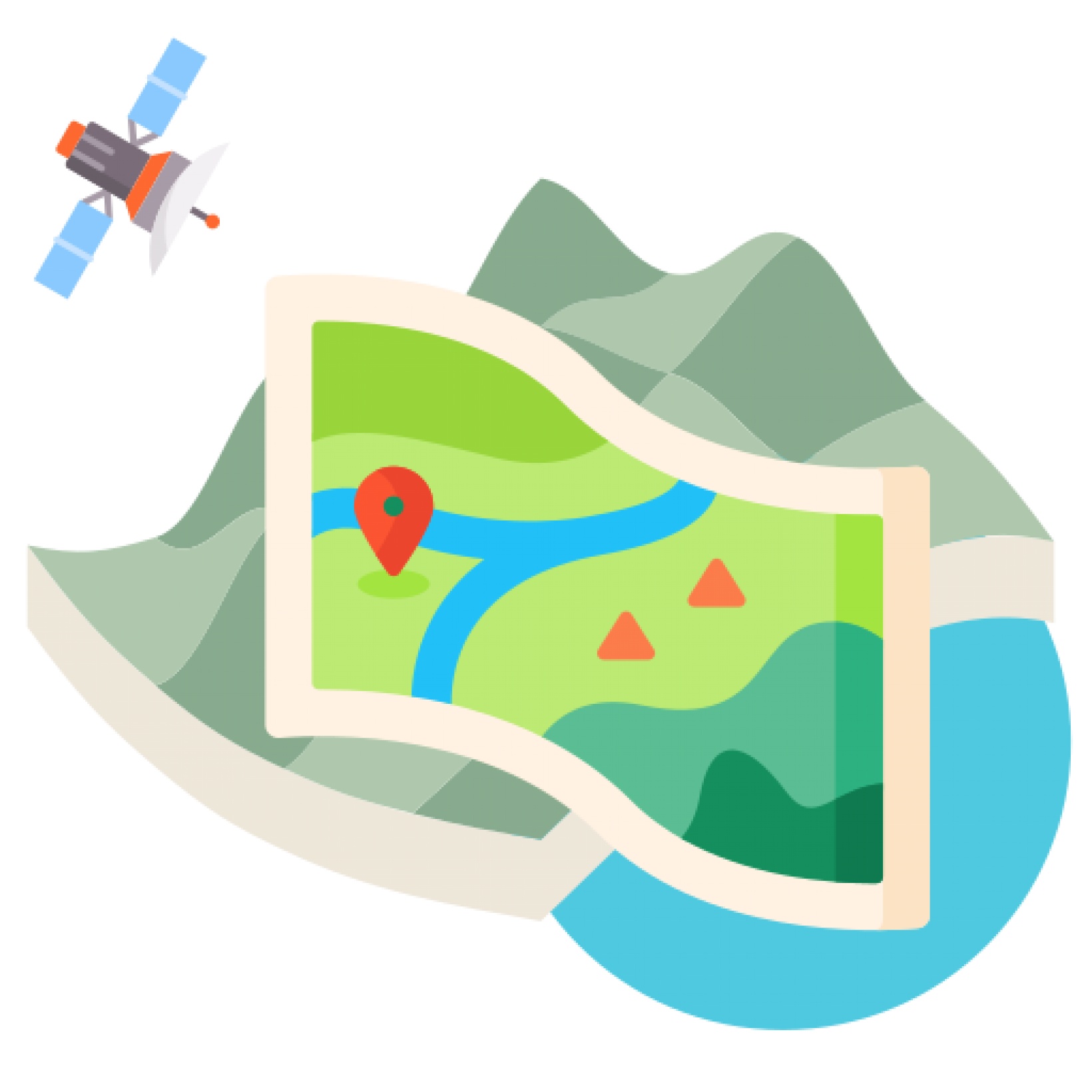
Satellite Map Overlay
Live Route Recording

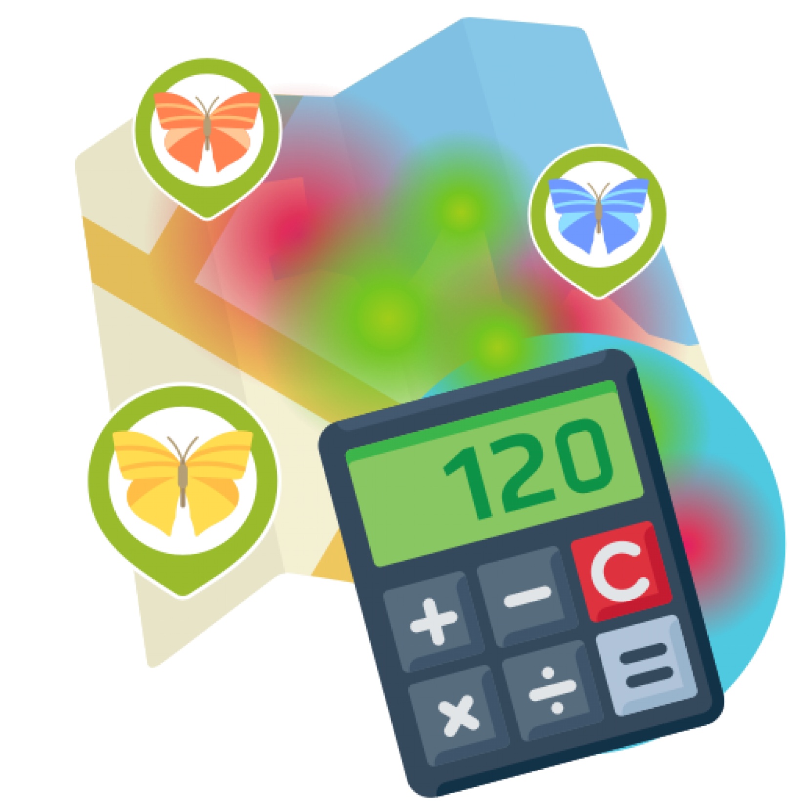
Data Scoring and Custom Data Visualizations
Projects & Apps open for Co-Use on SPOTTERON

ArtSpots


With the COSEA App, Citizen Scientists can observe marine environments, document coastal habitats or species, and report on pollution, infrastructure and the blue economy. Their contributions on the map and activity in the app will help scientists better understand the impacts and drivers of marine factors to protect and foster a healthy relationship between humans and seas.
COSEA | Collaboration for Effective Sea Action

NatureSpots is a non-commercial and free project to discover nature together. In the app, nature photos and sightings of animals, plants or mushrooms can be shared with the community on the map. The app is a new initiative for observing nature and taking part is very simple and straightforward. The app is free of advertising, does not track users and takes digital privacy seriously.
NatureSpots

The new citizen participation uses "Citizen Science" in their hometown and nationwide to get User's feedback on places. As a result, citizens are empowered to become active in a city worth living in to collect and share data themselves and to interact with scientists. This enables them to recognize the consequences of sealing, heat, water shortages, and a lack of biodiversity, and generally, how places in their own environment affect us all.
CIVO Citizen Voice

The IPM-Popillia Horizon 2020 project aims to address the challenge of a new risk to plant health in Europe's agriculture and food safety: the invasion of the Japanese Beetle, Popillia japonica. This invasive species was introduced accidentally to mainland Europe in 2014 and can quickly spread by transportation and trade. As a species with a wide range of feeding plants, P. japonica threatens the entire agricultural sector, urban landscapes, and biodiversity in invaded areas.
IPM Popillia | Integrated Pest Management of the Japanese Beetle

Fridays for Future see itself as a horizontal, grassroots grassroots movement that acts apolitically and refers to science for the facts. To engage the global population more, this app was developed using SPOTTERON. The aim is to find out how the population perceives the climate crisis and which positive and negative emotions are associated with specific topics related to biodiversity and climate crisis.
FRIDAYS FOR FUTURE - Climate App