SPOTTERON
Project Ecosystem
PatioSpots
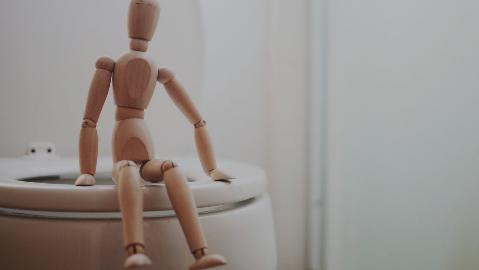
PATIO stands for "Patient Involvement in Oncology" and is a project of the Ludwig Boltzmann Institute Applied Diagnostics, which deals with citizen involvement after the diagnosis of prostate cancer. In the PatioSpots app, users can enter, find & rate WC facilities, as well as treatment, counseling and important contact points in their surrounding area.
EBW - Result-oriented management
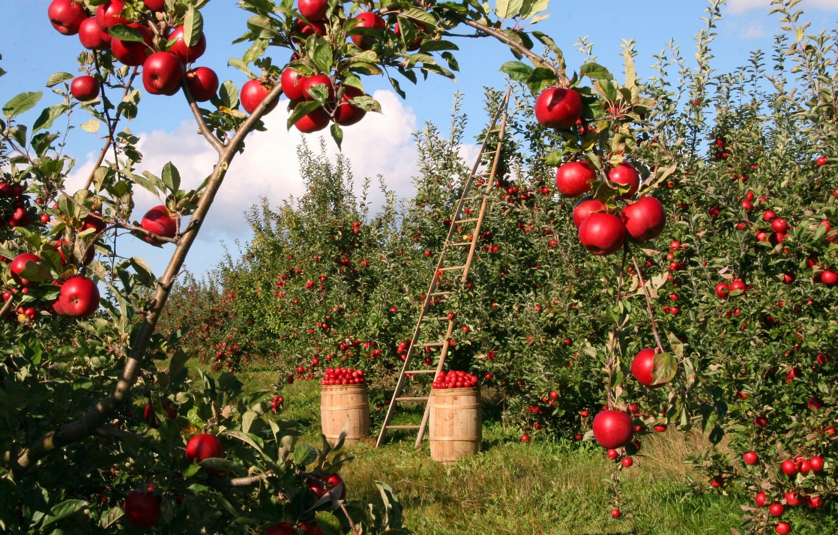
"EBW" stands for "Ergebnisorientierte Bewirtschaftung" ("result-oriented management") and is a highly specialized app for farmers and agriculturists to increase biodiversity in Austrian agricultural and natural landscapes.
Custom Project User Roles in Citizen Science Apps Shortnews
It is often the case in Citizen Science Apps that participants have different levels of experience, tools, or knowledge levels. Examples of this can emerge in many research topics, from experts on species classification to people with measuring equipment. With the new SPOTTERON platform feature "User Roles," we have created the basis for an extendable system to set up different kinds of participant levels in a Citizen Science App. Read more on the Citizen Science Blog
Spatial Data Recording in Citizen Science Apps Shortnews
Many Citizen Science and User Engagement projects utilize more than only point data for locations and spatial dimensions. Examples are plentiful - from setting up transects for counting butterflies to recording habitats and transformations.For that purpose, we have developed a new feature for all Citizen Science Apps on the SPOTTERON platform to enable users to set up in a Spot spatial data along with their recording. Read more on the Citizen Science Blog
Shortnews IPM Popillia Horizon 2020 Invasive Species Monitoring App
The IPM-Popillia Horizon 2020 project aims to address the challenge of a new risk to plant health in Europe's agriculture and food safety: the invasion of the Japanese Beetle, Popillia japonica. Read more about the Integrated Pest Management of the Japanese Beetle and our contribution to the project here.
MINAGRIS | Micro and Nanoplastics in Agricultural Soils
YouCount | Youth Citizen Science

In Europe and globally, substantial numbers of young people are at risk of social exclusion. Therefore, there is a pressing need to develop more knowledge and innovation to create inclusive and youth-friendly societies. The Horizon 2020 R&I Project YouCount contributes to these needs by developing 'actionable' knowledge for social inclusion of disadvantaged youths in the European Union and creating better means for social inclusion through citizen social science.
IPM Popillia | Integrated Pest Management of the Japanese Beetle
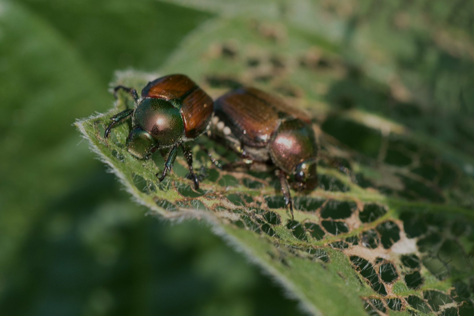
The IPM-Popillia Horizon 2020 project aims to address the challenge of a new risk to plant health in Europe's agriculture and food safety: the invasion of the Japanese Beetle, Popillia japonica. This invasive species was introduced accidentally to mainland Europe in 2014 and can quickly spread by transportation and trade. As a species with a wide range of feeding plants, P. japonica threatens the entire agricultural sector, urban landscapes, and biodiversity in invaded areas.
A Milestone for Citizen Science: SPOTTERON 3.0 Shortnews
We are happy that a new platform generation is finally ready for your Citizen Science Apps! After months of building up the groundwork, thorough evaluation, testing and improving, we are excited to present you the new and most extensive Citizen Science Platform we've ever had running. Welcome to SPOTTERON 3.0! Welcome to the Future of Citizen Science Apps.
Projects & Apps open for Co-Use on SPOTTERON

ArtSpots


With the COSEA App, Citizen Scientists can observe marine environments, document coastal habitats or species, and report on pollution, infrastructure and the blue economy. Their contributions on the map and activity in the app will help scientists better understand the impacts and drivers of marine factors to protect and foster a healthy relationship between humans and seas.
COSEA | Collaboration for Effective Sea Action

NatureSpots is a non-commercial and free project to discover nature together. In the app, nature photos and sightings of animals, plants or mushrooms can be shared with the community on the map. The app is a new initiative for observing nature and taking part is very simple and straightforward. The app is free of advertising, does not track users and takes digital privacy seriously.
NatureSpots

The new citizen participation uses "Citizen Science" in their hometown and nationwide to get User's feedback on places. As a result, citizens are empowered to become active in a city worth living in to collect and share data themselves and to interact with scientists. This enables them to recognize the consequences of sealing, heat, water shortages, and a lack of biodiversity, and generally, how places in their own environment affect us all.
CIVO Citizen Voice

The IPM-Popillia Horizon 2020 project aims to address the challenge of a new risk to plant health in Europe's agriculture and food safety: the invasion of the Japanese Beetle, Popillia japonica. This invasive species was introduced accidentally to mainland Europe in 2014 and can quickly spread by transportation and trade. As a species with a wide range of feeding plants, P. japonica threatens the entire agricultural sector, urban landscapes, and biodiversity in invaded areas.
IPM Popillia | Integrated Pest Management of the Japanese Beetle

Fridays for Future see itself as a horizontal, grassroots grassroots movement that acts apolitically and refers to science for the facts. To engage the global population more, this app was developed using SPOTTERON. The aim is to find out how the population perceives the climate crisis and which positive and negative emotions are associated with specific topics related to biodiversity and climate crisis.
FRIDAYS FOR FUTURE - Climate App