SPOTTERON
Data management
On SPOTTERON, your Citizen Science project data is always accessible. Every project has access to the data administration interface, allowing easy data management and real-time export. We offer high-quality data security standards for all projects with a strong privacy focus.
Data Input & Observations
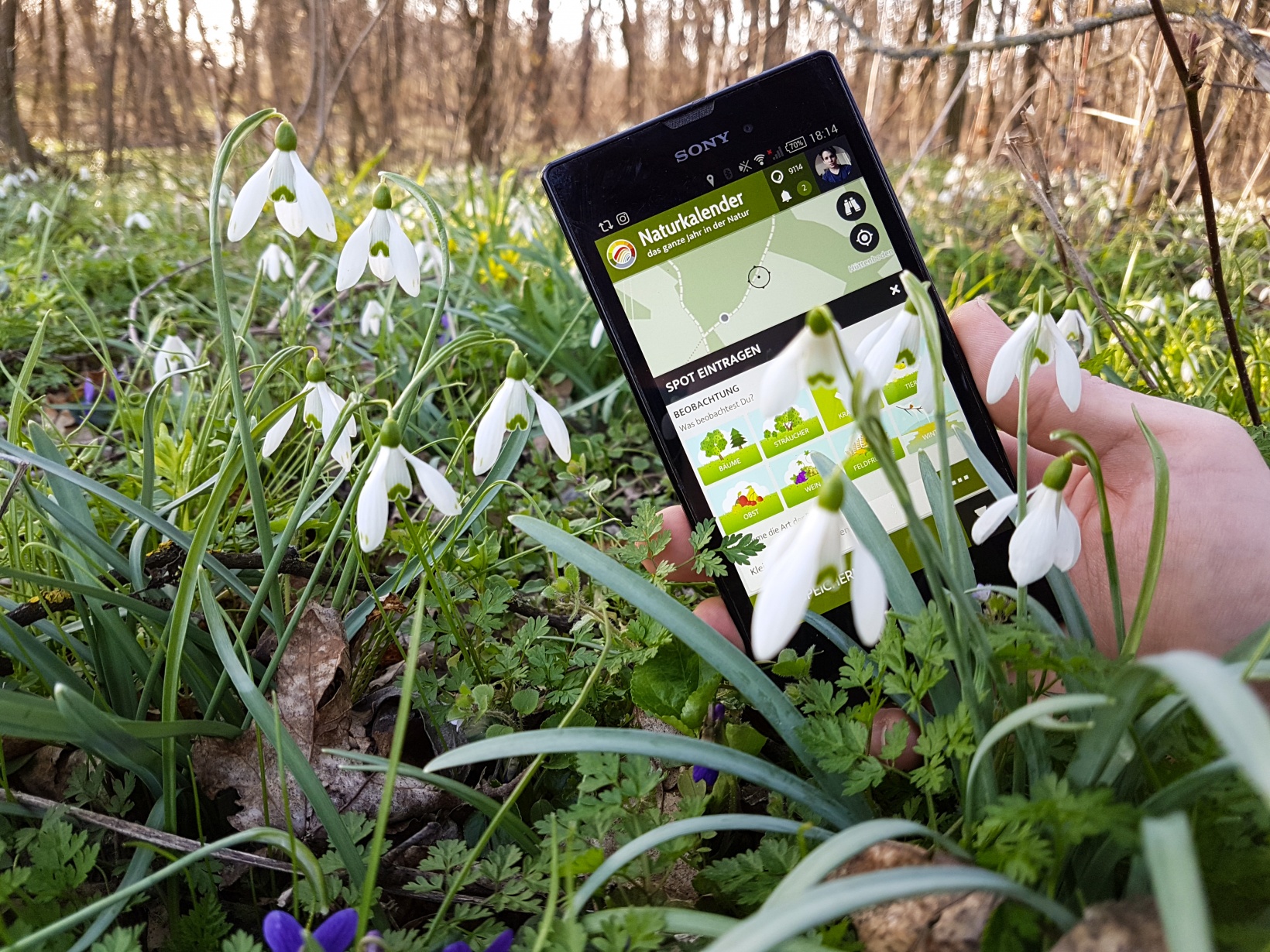
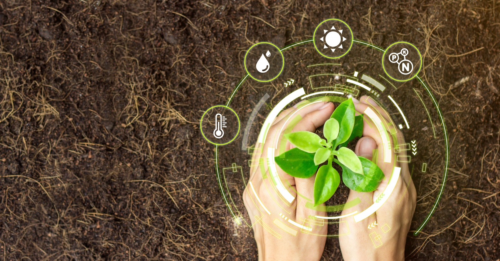
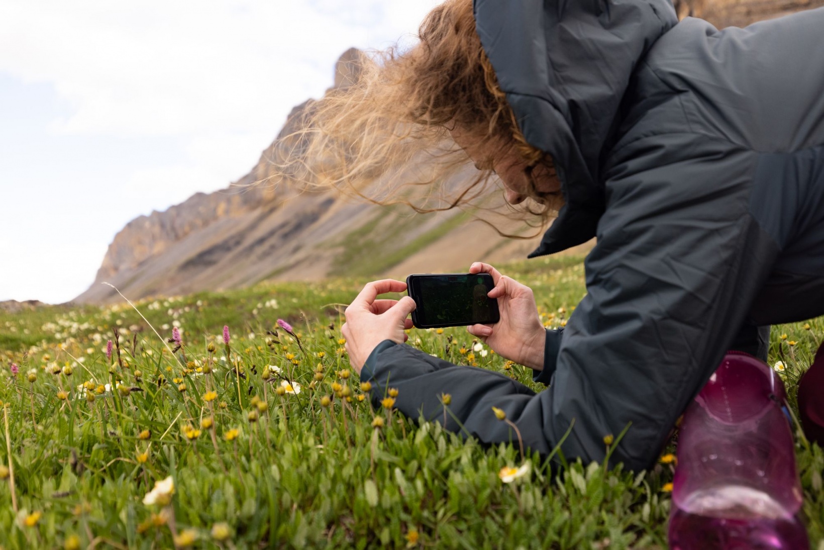
Citizen Scientists can put up observations quickly in the SPOTTERON Citizen Science apps. Designed as outdoor tools, we optimize all apps for easy use. The Data Input dialogue offers complete customization with a flexible set of input methods and data fields for your project.
Logos, print & media
If you do not have a professional project logo, do not worry: for each Citizen Science project on the platform, we create a project logo and typography if needed. Since the first impression for new users matters, we provide all the necessary visual assets for the app store with quality in mind and design additional media to support the app's dissemination online and with the press.
Project homepages
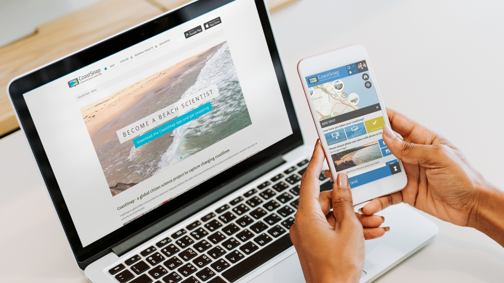
Interactive maps

Each Citizen Science tool-kit comes with a web-application called the "interactive map". This web-app allows Citizen Scientists to enter data simply via a browser on their laptop or desktop computer and offers all key features of the smartphone apps, including the Citizen Science community.
Citizen Science Apps
We build reliable and custom-tailored Citizen Science Apps on the SPOTTERON Platform for research teams, community science projects and citizen engagement initiatives. Each Citizen Science App is available as a download for Android smartphones and Apple iPhones and can be adapted to your project's needs.
3) project release
Your custom android app and maps are released publicly within 14 days.
4) free trial
Test your own SPOTTERON app and map for 1 month without obligations for free.
5) project future
After the free trial you can continue your app without downtime.
2) data setup
Provide us with an example for your data fields within your project.
Projects & Apps open for Co-Use on SPOTTERON

ArtSpots


With the COSEA App, Citizen Scientists can observe marine environments, document coastal habitats or species, and report on pollution, infrastructure and the blue economy. Their contributions on the map and activity in the app will help scientists better understand the impacts and drivers of marine factors to protect and foster a healthy relationship between humans and seas.
COSEA | Collaboration for Effective Sea Action

NatureSpots is a non-commercial and free project to discover nature together. In the app, nature photos and sightings of animals, plants or mushrooms can be shared with the community on the map. The app is a new initiative for observing nature and taking part is very simple and straightforward. The app is free of advertising, does not track users and takes digital privacy seriously.
NatureSpots

The new citizen participation uses "Citizen Science" in their hometown and nationwide to get User's feedback on places. As a result, citizens are empowered to become active in a city worth living in to collect and share data themselves and to interact with scientists. This enables them to recognize the consequences of sealing, heat, water shortages, and a lack of biodiversity, and generally, how places in their own environment affect us all.
CIVO Citizen Voice

The IPM-Popillia Horizon 2020 project aims to address the challenge of a new risk to plant health in Europe's agriculture and food safety: the invasion of the Japanese Beetle, Popillia japonica. This invasive species was introduced accidentally to mainland Europe in 2014 and can quickly spread by transportation and trade. As a species with a wide range of feeding plants, P. japonica threatens the entire agricultural sector, urban landscapes, and biodiversity in invaded areas.
IPM Popillia | Integrated Pest Management of the Japanese Beetle

Fridays for Future see itself as a horizontal, grassroots grassroots movement that acts apolitically and refers to science for the facts. To engage the global population more, this app was developed using SPOTTERON. The aim is to find out how the population perceives the climate crisis and which positive and negative emotions are associated with specific topics related to biodiversity and climate crisis.
FRIDAYS FOR FUTURE - Climate App